The civil UAV industry has flourished worldwide, penetrating multiple fields such as environment survey, security inspection, emergency rescue, smart agriculture, and aerial filming. However, this rapid expansion has unfortunately been shadowed by a significant and escalating problem: illegal civil UAV flights.
The Impact of Illegal Civil UAV Flights
These frequent unauthorized drone activities are not mere technical infractions; they pose serious and multifaceted threats to:
- Critical Infrastructure: Specifically, civil aviation infrastructure (airports, air traffic control) and oil and gas fields are highly vulnerable to disruptions and potential disasters caused by rogue drones.
- Urban Communities: Illegal drone flights over urban areas raise concerns about privacy violations, accidental collisions, and even intentional misuse, impacting social order and public safety.
Limitations of Current UAV Monitoring
The increasing prevalence of illegal drone operations necessitates a focused and comprehensive approach to mitigation to ensure airspace security. However, it is challenging to monitor, manage, and control civil UAVs based on available monitoring solutions, of which the limitations are as follows:
- Low detection efficiency: The current manual inspection is both labor-intensive and time-consuming. It is impossible to implement large-scale monitoring in real-time via manual inspection. Consequently, the response is often delayed, potentially overlooking the presence of illegal or malfunctioning UAVs.
- Low detection accuracy: Sensors can be adopted to acquire UAV data in real time. However, they cannot accurately identify potential faults or anomalies, which may result in property damage, personal injury, or even life threats.
- Limited scalability: As civil UAVs become more prevalent across various industries, existing monitoring systems struggle with scalability, making it difficult to meet the increasingly growing demands for airspace security.
Raythink UAV Monitoring Solution Addresses These Limitations
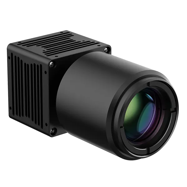
In response to government regulatory requirements and industry development needs, Raythink has taken the lead in launching a UAV monitoring system based on advanced thermal imaging technology. With its infrared panoramic camera series, Raythink has successfully overcome interference factors such as target size, detection range, and complex electromagnetic environments found in traditional monitoring solutions. Combined with visible light technology, this system can accurately monitor aerial targets through search, recognition, and tracking.
Solution Highlights:
1. 360° Low-Altitude Panoramic Scanning
The infrared panoramic camera provided by Raythink enables real-time 360° panoramic coverage, significantly outperforming traditional products that only provide target coordinate data. This technology greatly enhances dynamic perception capabilities, ensuring the detection of any aerial threat.
2. UFS Detection Algorithm
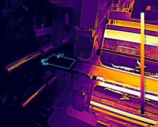
The system, which is equipped with the UFS detection algorithm developed by Raythink, is specifically designed for the detection of low-altitude small targets (such as birds and UAVs). Employing motion detection and the aerial scenario optimization algorithm, this system effectively filters false alarms triggered by birds and visually presents the target’s movement trajectory through thermal imaging technology.
3. Intelligent Visible Light Linkage
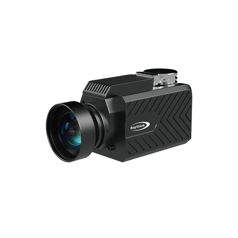
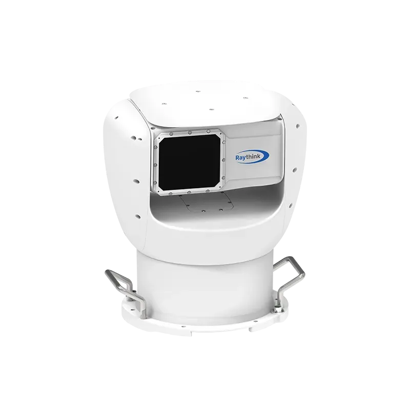
The infrared panoramic camera can seamlessly integrate with visible light technology to capture detailed visual information about the target. Our self-developed 360° HD infrared panoramic camera SilentW-U series is used as the primary monitoring and scanning device to rapidly locate and track a target. Once the target is locked, it works with the Multi-Spectrum PTZ Camera-PC5 series for tracking, allowing for further recognition, tracking, and monitoring of the target to observe its details. The panoramic SilentW-U and the multi-spectrum PTZ camera are equipped with industry-leading infrared detectors and large-diameter lenses, enabling customers to monitor the entire area required for UAV monitoring at a minimal resource investment. This dual-channel monitoring method enables active detection, real-time tracking, and swift intervention against illegal civil UAV activities.

Successful Application Cases of Raythink UAV Solution
Raythink’s innovative UAV monitoring solutions have demonstrated excellence in several key areas, including:
1. Civil Airports
Preventing illegal UAV incursions to ensure aviation security. In recent years, incidents of civil UAVs illegally entering airports have occurred frequently. These UAVs can not only carry cameras for secret photography. Still, they may also transport weapons, toxic chemicals, and explosives for espionage, smuggling activities, or even terrorist attacks, posing a significant threat to national security.
Under this circumstance, a certain airport has deployed the SilentW series infrared panoramic camera, which is capable of comprehensive detection and recognition of multiple UAVs over a wide area and at long distances. Once a drone or similar target unlawfully enters a restricted area, the infrared panoramic camera will automatically lock onto the target for tracking and trigger an alarm, alerting users for timely intervention. Additionally, based on historical movement trajectories, the camera can predict and assess the target’s movement trends, allowing real-time monitoring of UAV activities for easier interception and processing.

2. Oil and Gas Fields
Preventing potential aerial threats to protect infrastructure. An oil field project mainly covers 10+ oil field points around a city, with each point covering a monitoring radius of 3km. Each station tower is equipped with a panoramic E.O.S. and a PTZ camera. The panoramic E.O.S. camera is primarily used for monitoring, while the PTZ camera is responsible for coordinated linkage tracking.

3. Urban Communities
At an influential conference, the infrared panoramic camera was deployed to detect UAVs. It monitored, tracked and timely processed illegal and unauthorized ones that could potentially cause adverse effects to protect low-altitude airspace.

Conclusion
Raythink’s cutting-edge monitoring solutions represent a significant technological leap in the field of UAV monitoring. Its exceptional detection efficiency, accuracy, and scalability provide unprecedented support for ensuring airspace security. As UAV technology continues to progress, Raythink will remain committed to maintaining airspace order with innovative and reliable detection systems.
Click to learn more about Raythink’s products.

.webp)