Forest and grassland ecosystems face persistent threats from wildfires, exacerbated by climate change, human activity, and inaccessible terrain. Traditional fire prevention methods, such as ground patrols and watchtower surveillance, are labor-intensive and severely limited during nighttime, fog, snow, or adverse weather.
To overcome these challenges, Raythink has developed an advanced, thermal imaging-based forest and grassland fire monitoring system. By integrating high-resolution thermal imaging with intelligent fire detection algorithms and centralized platforms, this solution enables pre-incident prevention, real-time incident response, and post-incident recovery—ensuring robust, round-the-clock protection across diverse terrains.
2. Unique Advantages of Raythink Thermal Monitoring Systems
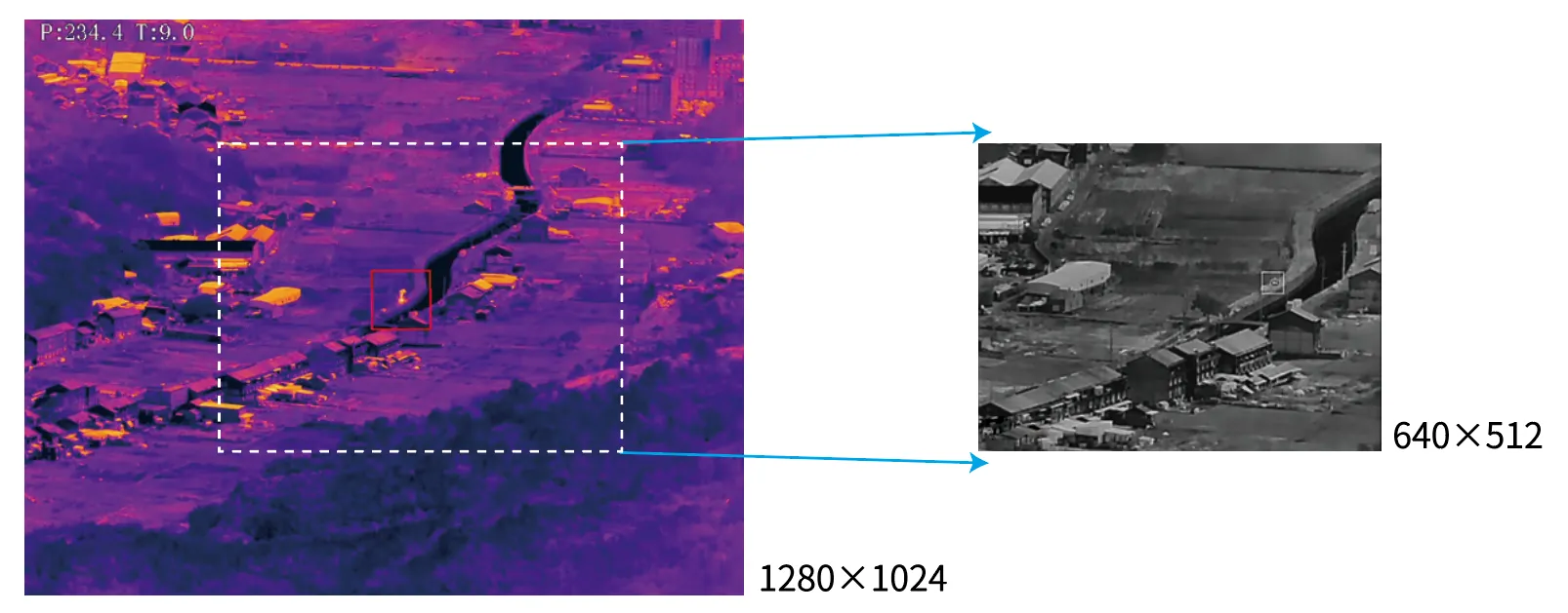
Large FOV -1280 Leading Thermal Resolution
Significantly reduced patrol time Enhanced detail capture for identical scenes Complete situational awareness at equal istances.
Long Distance -1.5 Pixel Thermal Detection
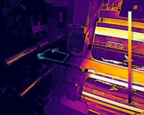
The forest fire protection product series utilizes a high-precision fire detection algorithm capable of identifying fire spots with as few as 1.5 pixels.
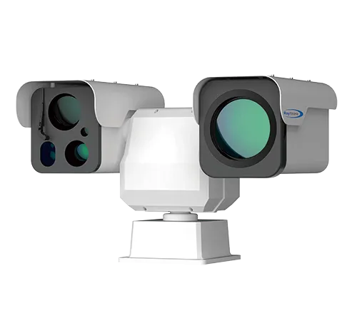
Raythink PTZ camera combines visible light for smoke detection and thermal imaging for fire detection, delivering 24/7 surveillance capability that performs reliably in any extreme weather conditions.
Easy to Integrate
Support ONVIF protocol, HTTP API, SDK, equipped with a high-performance pan-tilt system with built-in Gyro sensor and GPS, and supports various resolution and focal length options.
3. Solutions for Diverse Terrains
For Mountainous Terrain
Patrol Route Configurations
Customizable patrol routes let users drawthe most efficient path based on terrain,so that not a second of patrol timeis wasted and no fire incident is missed.
Al Smoke Detection Algorithm
The PTZ camera not only detects fire via thermal imaging but also incorporates an intelligent smoke-alarm algorithm on its visible-light imaging,By combining both algorithms,taccurately identifies fire incidents and provides 7/24 early warning.
Fire Centering
Once a fire is detected inthe thermalimage,the PTZ automatically rotates to place the hotspot at the center of the image.By using the PTZ’s orientation and positional coordinates,users can rapidly calculate the fire’s geographic location.
For Flat Terrain
360° Panoramic Thermal Image
This product delivers 360° real-time panoramic thermal image,a single thermal radar can replace up to 70 fixed camera simultaneously, enable fire alert coverage acros 31,400 hectares.
Real-time View in Every 2 Second
Utilizing a high-performance pan-tilt servo system,it delivers full panoramic scans every 2 seconds,ensuring continuous fire monitoring.The newly upgraded rotation mechanism operates maintenance-free during long-term deployment.
Easily Extendable System
After calibration,the thermal radar cooperates with the PTZ camera.When detecting wildfires,it provides angularposition of fire, triggering the PTZ camera to automatically rotate/tilt and zoom in for detailed fire image.
Resolution:640×512/1280×1024 Focal length: 55/75mm Fire detection distance (lens of 75mm): 10km
5. Applications of Thermal Cameras in Forest and Grassland Fire Prevention
Grassland Fire Prevention Project
Vast grasslands pose challenges for daily ranger patrols due to their scale and openness. To improve monitoring efficiency, the Forestry and Grassland Administration deployed dual-spectrum thermal PTZ and dome cameras, achieving full-range (short + long distance) coverage. These devices detect fire sources in real time, reduce manpower demand, and enhance early warning accuracy.
Forest Fire Prevention Project
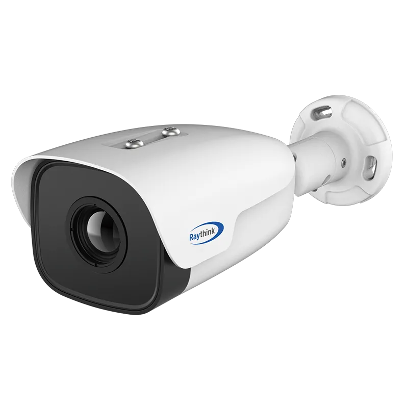
In mountainous forests, Raythink installed PC6 and PC4 thermal PTZ cameras at strategic high-altitude locations. Each device is equipped with a 1280×1024 resolution sensor and 225 mm lens for ultra-long-range detection. All cameras are networked into a centralized forest fire management platform, allowing real-time data collection, fire tracking, and coordinated emergency response.
On this website we use cookies and similar funcions to process end device information and personal data. The processing is used for purposes such as to integratecontent, extermal senices and elements from third paries, statis;ical analysismeasurement,personaized advertising and the integraion of social media. Dependingon the function, data is passed on to up to 15 third paries and processed by them. This consent is voluntany, not required for the use of our website and can berevoked at any time using the icon on the bottom left.